Support the Timberjay by making a donation.

Forecasters predict expanding drought in region
Outlook for April strongly favors above normal temperatures, near normal precipitation
REGIONAL— Last week’s major snowstorm helped but didn’t alleviate the ongoing drought conditions now in place over virtually all of northeastern Minnesota, and forecasters say they …
This item is available in full to subscribers.
Attention subscribers
To continue reading, you will need to either log in to your subscriber account, below, or purchase a new subscription.
Please log in to continue |
Forecasters predict expanding drought in region
Outlook for April strongly favors above normal temperatures, near normal precipitation
REGIONAL— Last week’s major snowstorm helped but didn’t alleviate the ongoing drought conditions now in place over virtually all of northeastern Minnesota, and forecasters say they expect drought conditions to continue and possibly worsen over the next several weeks.
Forecasters with the National Weather Service office in Duluth recently issued an extensive update on the developing drought, which highlights the prospects for worsening drought conditions in the region.
According to the update, all but the far northwestern corner of St. Louis County remains in moderate drought, according to the U.S. Drought Monitor. Further west, much of north-central Minnesota is experiencing severe drought conditions.
But the outlook for the future holds little prospect of improvement. According to the National Climate Prediction Center, the three-month drought outlook shows the current drought is expected to persist and worsen in the eastern two-thirds of Minnesota and will develop in northwestern St. Louis and eastern Koochiching counties, which are currently only listed as abnormally dry.
Meanwhile, temperatures are strongly favored to run above normal in April, with conditions slightly favoring below normal precipitation for the month. Next week’s forecast does call for off-and-on chances of mostly light precipitation which may reduce fire danger for periods but likely won’t ease drought conditions.
Limited snowpack having an effect
Precipitation in March was close to normal throughout most of the region, thanks in part to the late season snowfalls, but the lack of a substantial winter snowpack has been impacting the region’s hydrological patterns for weeks. While most area streams were still ice-covered as of mid-week, most rivers which are ice-free are showing remarkably limited flow for this time of year. The Rainy River, for example, is running below its average Q90 for the year, which means it is in the lowest tenth percentile for flow. And that’s at a time of year when flows are typically bolstered by spring snowmelt.
Across the Arrowhead, the latest snowfalls have added about 0.5-1.5 inches of liquid equivalent to the snowpack, which should boost water levels as it melts. But the amount of water in the snowpack remains well below the typical levels for this time of year.
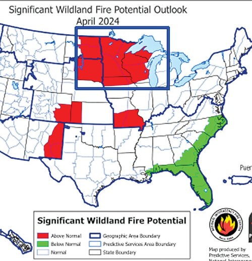
Due to the limited snowpack, which is expected to have largely melted by this weekend, fire danger could well ramp up in the next few weeks. The National Interagency Coordination Center shows all of Minnesota experiencing above normal fire potential throughout April. That is expected to diminish significantly in May as the forest greens up.


