Support the Timberjay by making a donation.

Agencies at odds over sulfide levels on Highway 169 project
Test drilling suggests bigger issue than expected
EAGLES NEST TWP— Two state agencies are at odds over the relative risk of the proposed Hwy. 169 realignment and reconstruction here after test drilling revealed higher levels of sulfide than some …
This item is available in full to subscribers.
Attention subscribers
To continue reading, you will need to either log in to your subscriber account, or purchase a new subscription.
If you are a current print subscriber, you can set up a free website account and connect your subscription to it by clicking here.
If you are a digital subscriber with an active, online-only subscription then you already have an account here. Just reset your password if you've not yet logged in to your account on this new site.
Otherwise, click here to view your options for subscribing.
Please log in to continue |
Agencies at odds over sulfide levels on Highway 169 project
Test drilling suggests bigger issue than expected
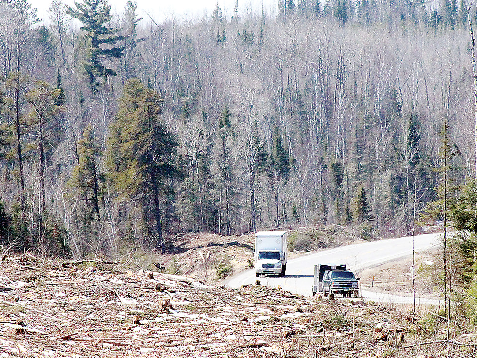
EAGLES NEST TWP— Two state agencies are at odds over the relative risk of the proposed Hwy. 169 realignment and reconstruction here after test drilling revealed higher levels of sulfide than some initial tests had indicated.
Officials with the Department of Natural Resources and the Department of Transportation and their consultant, Golder Associates, have yet to agree on the significance of the new data and how it will impact mitigation needs as the project moves forward. While MnDOT, as the lead agency, has the final word on the project, MnDOT officials agreed as part of their federal environmental review that they would work closely with the DNR to develop a pre-construction test drilling program, to establish criteria for handling sulfide-bearing rock, and to develop a mitigation plan for the project.
At that point, MnDOT and Golder rated the environmental risks from sulfide as low, and it isn’t clear whether the agency and its consultant see it much differently now that drilling results are available. Meanwhile, DNR officials see a more serious problem in the results.
“Between MnDOT and DNR staff, I don’t think they agree yet on our understanding of the data and what the next steps should be,” said Duane Hill, project engineer for MnDOT.
Golder had initially classified the project as “moderate to high risk” due to the presence of sulfide indicated by initial fieldwork conducted by the Natural Resources Research Institute. Golder later changed its classification to low risk, however, citing chemical testing that the consultant said suggested a lower amount of sulfide in the rock than previously assumed— and that’s the information that MnDOT included in the federal environmental analysis.
But under pressure from officials with the DNR, who see significantly higher risk in the project, MnDOT officials agreed to conduct test drilling to better determine just how much sulfide rock their proposed project might expose. The project is expected to require blasting and removal of approximately 200,000 cubic yards of rock, making it one of the largest such rock removal projects in recent MnDOT history.
The drilling program included over 500 core samples, and the results suggest sulfide will be a significantly greater issue than Golder’s analysis had predicted.
The Golder analyst, Rens Verburg, in a report provided to MnDOT just over a year ago, predicted little risk from sulfides. “Based on the available data, the overall sulfur content along the proposed alignment is low to very low, even more so when considering that the NRRI sampling specifically targeted areas with visual evidence for elevated sulfur,” Verburg wrote. “Only 12 percent of the samples contained total sulfur in excess of the preliminary threshold of 0.15 percent by weight.”
Yet chemical testing of hundreds of drill cores taken from the proposed route this past fall found that 31 percent contained total sulfur at or above the 0.15 percent threshold and that the average sulfur content of all the cores totaled 0.19 percent sulfur, above the cutoff generally accepted for limiting risk from acid rock drainage. Those numbers were included in a new report issued by Verburg for MnDOT last month and included drill cores gathered all along the proposed new highway alignment. Some of the highest sulfide readings were found near Six Mile and Armstrong lakes.
Despite that, Verburg maintained during a recent meeting of the project’s technical committee that its two reports were “in good agreement.”
But that’s not how DNR officials see it. “The DNR completely disagrees with this,” wrote Dennis Martin, the DNR’s Mineral Potential Manager in a follow-up memo after last week’s meeting of the technical committee. “No statistical comparison was presented to affirm this statement… In fact, the Golder information did not include all of the sample set, and excluded samples that have high sulfur content which influences the results. This is not acceptable.”
According to Martin, the “DNR does not agree that any accurate statements regarding a mitigation approach or the level of mitigation that may be required can be made with the data that was available at the time of this meeting.”
According to Hill, the information presented by Verburg at the meeting was incomplete because it had just come in and he hadn’t had the opportunity to review it all. “This was just a first glance,” said Hill. “Some data was missing because the analysis wasn’t complete.”
At issue is how much additional analysis will be needed as MnDOT moves towards construction as well as how the exposed sulfide-bearing rock will be mitigated. The issue is a complicated one, that depends not only on the amount of sulfur contained in the rock, but on the amount of natural buffering agents found in the rock as well. With adequate natural buffering, the risk of acid runoff is reduced and the sulfur-bearing rock could be tempered by mixing or blending with other rock with greater buffering capacity.
Given that much of the rock in the region has limited buffering capacity, the project may require the importation of a large amount of limestone (an effective buffer)— anywhere from 4,000-11,500 tons, according to Verburg’s most recent analysis.
Verburg, in his report, suggests that the project may not require nearly that much limestone in the end, but DNR officials say they disagree. “Depending on the assay values for the complete data set and how those values relate to rock type, road cut location, road cut volume, and other variables there may in fact be a need for more limestone than speculated about from the incomplete data set presented,” wrote Martin.
The DNR is also disputing the sulfide concentrations in glacial till that lies on top of the bedrock along the new road alignment, challenging MnDOT’s position that the sulfide in the till is “very oxidized,” which would mean most of its potential to create acid runoff had already been depleted. “This statement is undocumented,” wrote Martin, noting that the DNR has data showing exactly the opposite in till about one meter down from the surface. Martin also noted that PolyMet Mining’s own analysis of the issue determined that 60 percent of glacial sediments at their mine site presented the risk of acid runoff. “So they chose to place all the glacial sediments into an engineered waste rock stockpile,” Martin noted.
The high level of uncertainty over the issue has the DNR arguing for a more conservative approach, although the memo provides little suggestion of what additional steps the DNR is seeking.
Hill said Golder is supposed to provide an actual mitigation plan at an upcoming technical committee meeting. “Right now, we’re talking it through and determining where we’ll need to mitigate,” said Hill. “There are several different rock types that will be affected. In the iron formation there is a higher potential for sulfide and less potential to neutralize,” he said.
Rock throughout much of the proposed route contains little to no sulfide, but in areas where it is found, concentrations are relatively high in some cases. At one drill site, the sulfide content was as high as 10 percent, many times above the commonly-accepted threshold for mitigation of 0.15 percent.
“There are four or five areas that will definitely need to be mitigated,” said Hill, “and a few more that might need to be done.” Hill is hoping to have a mitigation plan finalzed by the end of April in order to stay on track with MnDOT’s construction timeline. The agency currently plans to offer the project for bidding in June, with bid letting tentatively planned for July. “Because we don’t have the mitigation plan nailed down yet, we may be running a little behind on design work. But we haven’t announced any delay at this point.” Meanwhile, Hill said tree clearing and right-of-way acquisition is mostly on track.
Hill said it’s too early to determine how much the mitigation will cost, since it will depend on the approach agreed upon by the agencies involved. “It will probably be a lot less than the drilling and sampling,” he said.


