Support the Timberjay by making a donation.

March-April period was warmest on record
Area remains in moderate to severe drought, despite recent showers and cool weather
North Country residents have experienced the warmest spring since modern record-keeping began shortly after the turn of the last century.
According to State Climatologist Pete Boulay, …
This item is available in full to subscribers.
Attention subscribers
To continue reading, you will need to either log in to your subscriber account, or purchase a new subscription.
If you are a current print subscriber, you can set up a free website account and connect your subscription to it by clicking here.
If you are a digital subscriber with an active, online-only subscription then you already have an account here. Just reset your password if you've not yet logged in to your account on this new site.
Otherwise, click here to view your options for subscribing.
Please log in to continue |
March-April period was warmest on record
Area remains in moderate to severe drought, despite recent showers and cool weather
North Country residents have experienced the warmest spring since modern record-keeping began shortly after the turn of the last century.
According to State Climatologist Pete Boulay, temperatures for the two-month March-April period were the warmest ever recorded in International Falls, the area’s longest-running weather station.
During the two-month stretch, the I-Falls weather station recorded an average temperature of 40.0 degrees, beating the previous mark of 38.9 degrees, set in 1987.
“You experienced the warmest spring in modern history. That’s what having no snow cover will do for you,” said Boulay.
The record-setting mark was reached despite the fact that the month of April was not among the top three warmest ever. April’s average I-Falls temperature of 45.5 degrees was well above the long-term average, but was topped by several previous Aprils, most recently in 2006, when the average monthly temperature hit 46.4 degrees.
This year did see the warmest March on record for International Falls, according to Boulay.
This past April was also exceptional for the lack of recorded snowfall across the state. Boulay said the only report of snow anywhere in Minnesota in April came from Duluth, which recorded a trace.
The exceptionally warm spring appears to be no guarantee of continued warm weather. In fact, in past years, record warm springs were followed by below average temperatures in subsequent months. This year may follow that trend, as May temperatures through midweek were running about two degrees below average and extended forecasts were suggesting continuing below average temperatures through the middle of the month. As of May 8, the area sees an average high temperature of 62 degrees and an average low of 31 degrees.
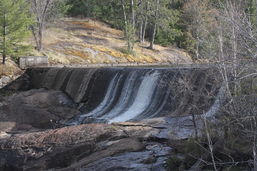
Continuing drought
The Arrowhead remained in the grip of a moderate to severe drought as of this week, despite the scattered showers that did fall in much of the area over the past several days. Cooler and cloudier conditions, along with the rainfall, have reduced fire danger, but the area continues to lag well behind in precipitation. And while some parts of the Arrowhead have picked up just over an inch of rain in the past week, many other areas have seen significantly less than that, in many cases less than half an inch.
Ely, for example, picked up just a quarter inch of precipitation during last week’s stretch of showers, while another quarter inch has fallen since then. In a typical week in May, the area picks up about three-quarters of an inch of rain.
Many parts of the Arrowhead, particularly the northeast corner of St. Louis County, remain in the first percentile for precipitation for the March 16-May 3 time period. That’s a once-in-a-century frequency. “The building of the drought is getting noticed,” said Boulay.
Keywords
drought, St. Louis County


